
Quincy ZIP Areas by Neighborhood
This Quincy postal reference begins with three primary USPS codes: 02169, 02170, and 02171. Their boundaries are delivery geographies, not neighborhood lines or municipal subdivisions. Use the city and neighborhood label together when working through older directories, deeds, or assessor material. Quincy has more than seventeen named neighborhoods, while postal service condenses the city into three principal ZIP areas. The difference explains why a local name can be useful for research even when it does not appear in a postal result.
| ZIP | Areas commonly associated with it | Post-office city | Research note |
|---|---|---|---|
| 02169 | Quincy Center, Quincy Point, South Quincy, West Quincy, Hough's Neck, and portions of Germantown, Adams Shore, or Merrymount | Quincy, MA | Standard Quincy ZIP. Verify the individual street address with USPS. |
| 02170 | Wollaston, Wollaston Hill, and parts of Quincy Shore or Merrymount context | Quincy, MA | Standard Quincy ZIP with overlapping coastal labels. |
| 02171 | North Quincy, Squantum, Marina Bay, Norfolk Downs, and Montclair context | Quincy, MA | Standard Quincy ZIP. Do not confuse it with Boston assignments across the Neponset. |
Official materials reviewed did not identify a Quincy-only unique ZIP or a PO-box-only Quincy ZIP. They also did not document a recent ZIP split or realignment. That absence is a research limit, not proof that postal service has never adjusted a route.
Use the USPS city and state result as a starting list, then verify a street address before carrying the postal detail into an assessor, deed, or directory search. This distinction matters in Quincy because neighborhood, shoreline, and municipal descriptions can all be more precise than a delivery label. A current postal result is evidence of service, not a substitute for a parcel boundary or legal description.
Quincy ZIP Area 02169
02169 is the broad central and southern Quincy ZIP in this postal reference. It is commonly tied to Quincy Center, Quincy Point, South Quincy, West Quincy, Hough's Neck, and parts of Germantown, Adams Shore, and Merrymount. Those names are useful record-search terms, but none sets a delivery boundary on its own. A directory may also use an older form such as Quincy Centre, while a map or deed may rely on the street and legal description instead.
For an address in 02169, retain the neighborhood name beside the street and parcel key. A shoreline label or a corner parcel may span local context that a ZIP alone cannot show. The City of Quincy remains the municipal parcel jurisdiction even when a postal, school, emergency-service, or neighborhood boundary points somewhere else.
Quincy ZIP Area 02170
02170 covers Wollaston, Wollaston Hill, and parts of the Quincy Shore or Merrymount context. The coastal setting makes the postal code useful for organizing a search, especially when comparing a current delivery address with a parcel map. It does not replace an exact street lookup. Coastal streets and neighborhood labels can overlap a postal area without following the same line.
When historical material lacks a modern ZIP, search the printed street form, the neighborhood name, and nearby parcels. The Quincy 1912 Atlas, Sanborn maps, historic directories, and Registry legal descriptions can bridge old and current address language. USPS validation belongs at the end of that comparison for the current deliverable address, not at the start of an older record search.
Quincy ZIP Area 02171
02171 is associated with North Quincy, Squantum, Marina Bay, Norfolk Downs, and Montclair context. North Quincy can appear as Atlantic or No. Quincy in historic titles, while Hough's Neck may appear without an apostrophe elsewhere in the city. These naming differences make street, number, and parcel checks more dependable than a modern ZIP label when reading a historical source.
Squantum and Marina Bay are coastal or peninsula settings, and parcel layers may provide flood, coastal, zoning, or district context. Those layers describe the location, not a resident. Use them to compare geography across records, then confirm ownership through a deed and a current address through USPS.
Search Quincy Residents by ZIP
A ZIP is best used to organize a batch of verified addresses rather than to generate a resident list. Start with USPS, then use the exact street address in the assessor or MapGeo viewer. Quincy's assessor screen accepts address, owner name, MBLU, account number, or PID. It does not expose a documented ZIP-wide filter. MapGeo supports address, parcel, MBLU, and map browsing, so it can help inspect a postal area visually but cannot validate delivery routing.
- Use the USPS postal lookup to verify the current ZIP for a specific street address or to retrieve the city and state ZIP set.
- Make a dated list of addresses confirmed in the same ZIP. Keep the municipal neighborhood label if the record supplies one.
- Search each address in the Quincy Property Record Viewer, then retain the situs, MBLU/PID, and assessed-owner lead separately.
- Use Quincy MapGeo to check parcel placement and surrounding streets. Do not draw a postal boundary from parcel shapes alone.
- For one known voter, the state form can use a five-digit ZIP with the person's name and date of birth. It is not a ZIP-wide voter search.
Once a ZIP has narrowed the area, the Quincy street directory provides the parcel-by-parcel address workflow. A ZIP is an organizing key. The street and parcel record remain the evidence keys.
Quincy ZIP Search Fields
USPS is the authoritative final check for a current delivery ZIP. Its lookup accepts an address or a city and state query. The Massachusetts voter-status form also accepts a ZIP, but only as one required field for an individual confirmation. It requires the voter's first and last name, month, day and year of birth, five-digit residential ZIP, and an agreement checkbox. The form returns an individual result or a not-found response, not names within a postal area.
| Portal field | Input type | Required | ZIP-specific use |
|---|---|---|---|
| USPS street address | Address text | For exact validation | Returns the current ZIP for a deliverable address. |
| USPS city and state | Text selectors | For place search | Returns the postal ZIP set for Quincy, MA. |
| Voter first and last name | Text | Yes | Identifies the individual to be checked. |
| Voter birth month, day, year | Dropdowns | Yes | Required match input, not a browse filter. |
| Voter residential ZIP | Five-digit text | Yes | Must match the qualified residential ZIP. |
| Agreement and submit | Checkbox and button | Yes | Confirms individual-status terms and sends the request. |
The USPS address lookup is the source for the postal verification shown here.
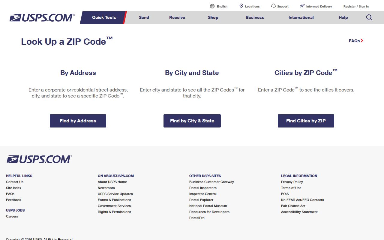
The image illustrates why the exact street address is the final test. City and state results are useful for the three primary Quincy ZIPs, but delivery is established at address level.
Note: A voter no-match can result from a spelling difference, recent move, inactive status, protected record, or ZIP mismatch, so it does not prove a person never lived in Quincy.
Quincy ZIP Address Keys
Four address concepts produce many false no-record results. The situs is the physical parcel address used by the assessor and map. The mailing address is where tax correspondence goes and may be elsewhere. A deed uses a legal description, such as lot, plan, or bounds language. USPS uses a deliverable postal address. Historical directories commonly use street and number, without the modern five-digit ZIP. Compare like with like before deciding that a record belongs to a different place.
- Five-digit ZIP
- A USPS delivery geography. It is not a municipal boundary or a neighborhood boundary.
- ZIP+4
- An added four-digit delivery detail used with a five-digit ZIP. It does not replace the base ZIP for ordinary geographic comparison.
- PO-box ZIP
- A postal code used for post-office boxes rather than a general street-delivery area. No Quincy-only example was verified in the reviewed materials.
- Unique ZIP
- A code assigned to one organization or institution. No Quincy-only example was verified in the reviewed materials.
- Carrier route
- A postal delivery grouping that can cut across local labels and should not be treated as a city or neighborhood line.
The Quincy Assessors office overview explains the local assessment function behind parcel records.
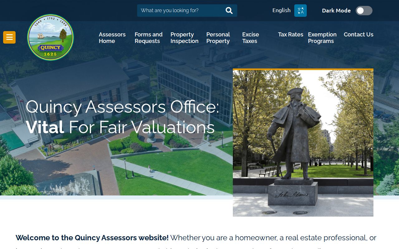
The assessment system helps connect a verified street address to a parcel, but it is not a postal database and does not supply a documented ZIP-wide export.
Quincy ZIP Boundaries
Quincy postal ZIPs do not define the city limits. Regional lists may include 02184 and 02185 for Braintree, 02186 and 02187 for Milton, and 02188 through 02191 for Weymouth. A Greater Quincy data set can therefore include a nearby postal area without describing a Quincy parcel. The converse is also important: a Quincy mailing label does not establish a particular neighborhood. Confirm municipality through the parcel and city records, and confirm delivery ZIP through USPS.
MassGIS ZIP polygons can help visualize approximate five-digit areas, but delivery routes remain USPS geography. For a disputed historical address, use the printed street form, neighborhood, neighboring parcel, 1912 Atlas, Sanborn map, and Norfolk Registry legal description. No verified Quincy E911 map, citywide renumbering project, or ZIP-split notice was located in the research. A precise address-history question may require a narrow request to the relevant city custodian with the parcel number and date range. Preserve both the source date and the postal result, because a current delivery answer cannot settle an earlier address description by itself.
Boundary check. Treat 02169, 02170, and 02171 as postal starting points. Use the exact address for delivery, the parcel for city jurisdiction, and the deed for legal identity.