
Quincy Neighbors Around One Parcel
A careful block lookup asks different records different questions. The map establishes which parcels touch or face the subject parcel. The Quincy assessor card identifies an assessed owner and property facts. The Registry supplies recorded title information, while historical directories and newspapers can add a dated community layer. None is a live census of all neighbors. Keep the source date with each result and label the kind of evidence it provides.
| Source | What It Shows About a Block | Best Access |
|---|---|---|
| Quincy MapGeo | Parcel shape, adjoining lots, street context, and available layers | Public map viewer |
| Quincy Assessors | Assessed owner, situs, mailing address, MBLU or PID, and parcel facts | VGSI property viewer; office fallback |
| Norfolk Registry and Land Court | Recorded owner, legal description, plan references, and deed history | Online index or Dedham counter |
| Historical lists and directories | Dated adult-resident or address-era household clues | Thomas Crane Archives, State Library, and digitized volumes |
| Neighborhood associations | Community geography, events, and public contact routes | Association pages; no verified public member rosters |
The mailing address on a tax card can differ from the situs. It may point to another property, a trust, a representative, or a business. The record supports an assessed-owner lead, not a claim about who is present in a home. That distinction matters especially for condominiums, corner lots, open-space parcels, and parcels with more than one street face.
Note: Save the map date and the parcel identifiers with your notes because ownership cards and map layers can change over time.
Map Quincy Neighboring Parcels
Use the subject parcel's MBLU or PID to define the block. Search the address in MapGeo, select the parcel, and inspect the lots that touch it. Then use the state property-map instructions when an adjacent-parcel control is needed: select a parcel, apply the Find Abutters action, open each result, and use the measure tool for distance or area. A map view is a starting point, not a title survey.
Block flow: subject address → MapGeo parcel → touching or facing parcels → assessor card → deed or Land Court record → dated source note.
- Locate the subject address in the Quincy MapGeo viewer and record the displayed parcel key, frontage, and map relationship.
- Select each relevant adjacent parcel. Keep a separate row for its situs, assessed owner, mailing address, MBLU or PID, and date checked.
- Open the assessor card for a parcel whose map popup lacks enough detail. Compare its deed reference and legal description with the Registry record.
- Stop and verify the plan when the legal description does not fit the visual map, particularly for units, water frontage, or a corner parcel.
For a full street-by-street record chain instead of the immediate block, use the Quincy street directory. The street workflow follows address records farther along a named road; this parcel method stays close to the selected address.
Quincy Neighbors Through MapGeo
MapGeo adds spatial context that a name search cannot. Its local search accepts an address, parcel number, or MBLU, and the map can be panned or zoomed to a short block. Parcel, street, zoning, flood or coastal, district, aerial, and other available layers can help explain why a parcel boundary or street setting looks unusual. The assessor card is the follow-up for a parcel's assessed facts.
The official MassGIS property-map guidance documents the adjacent-parcel and measurement workflow when local map controls are unclear. It also reinforces a useful limit: map geometry describes parcels, not personal relationships. A water parcel, easement, or open-space lot may be next to an address without representing a nearby household.
Quincy Neighbor Deed Checks
Use the Registry to confirm a recorded owner after the parcel map identifies a lot. Norfolk's address search has few entries before 2003, so a name-first route is often stronger. Take the current assessed owner or deed reference from the card, locate the instrument, read the legal description and grantor, then check the grantor as a prior grantee when history matters. Registry land and Registered Land Court land are separate systems.
A deed can show parties, recording date, consideration when present, legal description, book and page or instrument number, and plan references. It does not prove that a recorded owner lived at the parcel. Free online images marked Not an Official Copy are available for research. The Registry counter and mail process are the routes for copies when a custodian-issued document is needed.
Note: If a Registry name search fails, check the separate Land Court owner or certificate route before treating the title trail as complete.
Quincy Neighbor Voter Limits
The Massachusetts voter-status form is not a way to build a block roster. It requires one person's first and last name, date of birth, and five-digit residential ZIP, plus an agreement that the tool is for the individual voter. M.G.L. c. 51, § 47C restricts ordinary public access to names and addresses in the central voter registry. Do not use a no-match as proof that a person was never connected to Quincy.
For historical neighbors, adult-inhabitant and voting lists held through Thomas Crane, the State Library, and digitized collections can place an adult at an address for their publication year. They can omit children, people who did not register, and protected registrations. A ward or precinct in an old list may also differ from the current parcel map.
Quincy Neighbors Association Layer
Neighborhood associations give a block a community name and public way to connect, but they are not a government resident list. Merrymount, Wollaston Hill, Winter Street, and Quincy Point have documented association or neighborhood-engagement activity. Their public pages describe membership, events, subscriptions, or community work. No verified public member roster was located for these groups, so public contact details should not be treated as a list of every neighbor.
| Organization | Quincy Geography | Publicly Documented Route |
|---|---|---|
| Merrymount Association | Merrymount | Membership application, events, contacts, and neighborhood history |
| Wollaston Hill Neighborhood Association | Wollaston Hill | Resident and Friends participation, email updates, and events |
| Winter Street Neighborhood Association | Quincy Point | NeighborWorks community-building and ambassador work |
| Penn's Hill Neighborhood Association | Penn's Hill | Event evidence in a Quincy Ward 2 newsletter; no public directory found |
The Wollaston Hill Neighborhood Association page illustrates the public association layer: it offers ways to join and receive updates rather than a public roster of nearby people.
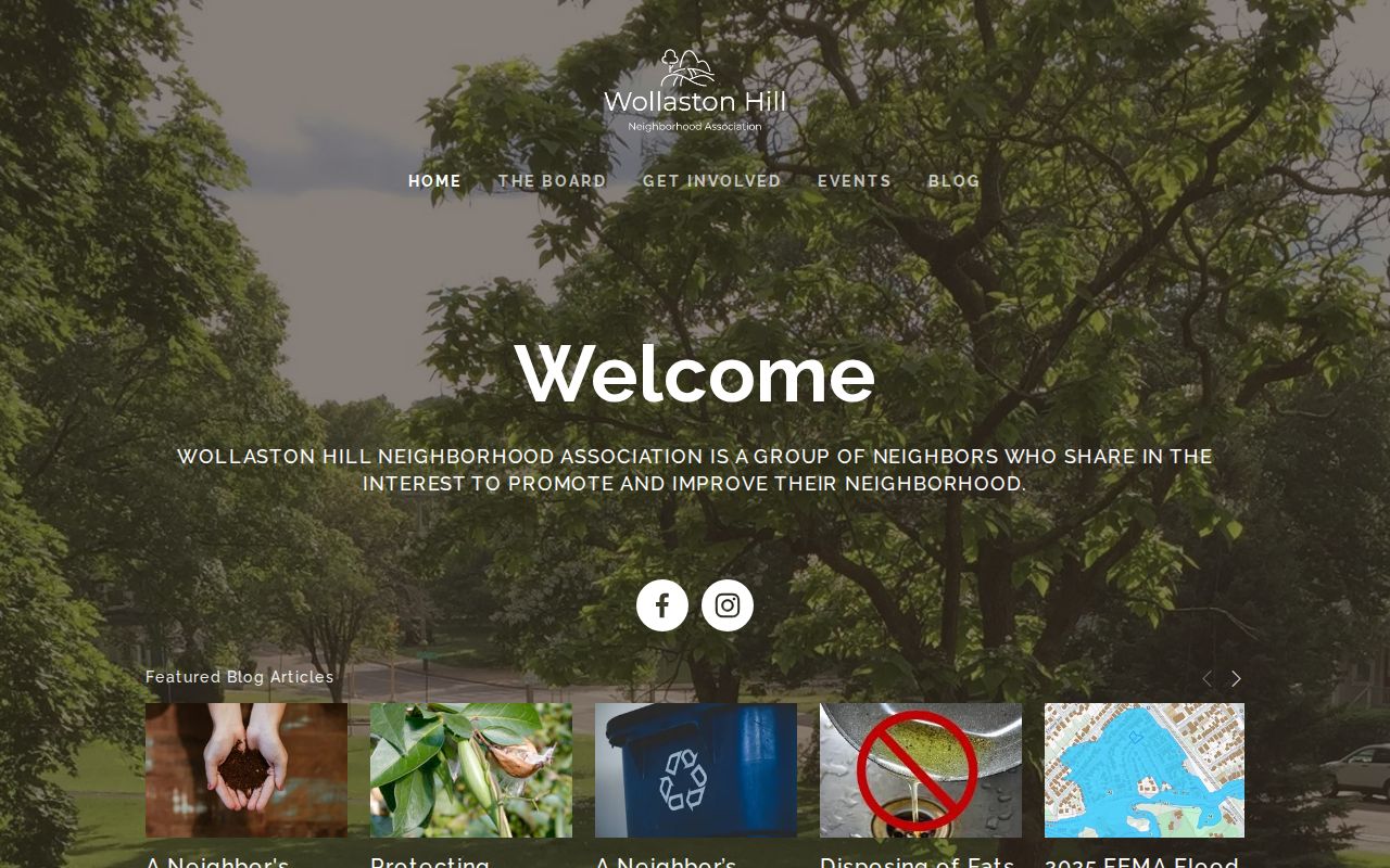
Use an association's published contact route to learn about community activity. Do not infer membership from an event, photograph, or address-level record.
Note: Quincy association contact routes are public invitations to participate, not evidence that every nearby parcel holder belongs to the group.
Quincy Neighbor Coastal Blocks
Quincy's neighborhood names and postal geography add a useful caution to a block search. Coastal areas including Hough's Neck, Germantown, Merrymount, Squantum, Marina Bay, Wollaston, and Quincy Point can have flood, coastal, transportation, or shoreline context that appears in map layers and engineering records. A neighborhood label is not a parcel boundary, and a postal label is not a municipal-record boundary.
This is why a parcel-led method is stronger than assuming that a nearby street number shares the same tract, association, or record trail. The city plan names more than seventeen neighborhoods, while the city is mainly served through ZIP codes 02169, 02170, and 02171. Map context can explain a record trail, but it does not identify residents.
Quincy Neighbor Record Requests
Quincy's inspected Cityworks interface was a login page, not a documented public permit or code index. For an existing address-specific record, make a narrow written request to the relevant city department under the Massachusetts Public Records Law. Describe the address, date range, and record type, such as a permit card, inspection report, or code case. Ask the department to identify its Records Access Officer when the keeper is unclear.
A public request can seek an existing record or data layer. It cannot require a city office to create a neighborhood list or disclose protected personal information. The assessor office, Registry, clerk, and historical collections remain separate channels, so direct each request to the keeper that actually holds the record.
Note: Quincy departments can clarify the record keeper, but a request should still identify the existing record and a usable date range.
Official Quincy Neighbor Records Compared
Official records make it possible to check the underlying parcel, document, and date. Commercial neighbor tools are private compilations that can blend property material, old directories, marketing data, and inferred associations. They may be stale or combine people with similar names. A slower official method leaves an auditable trail and makes its limits visible.
| Question | Official Parcel and Record Trail | Commercial Neighbor Compilation |
|---|---|---|
| Source and date | Map, assessor card, deed, directory, or custodian record can be cited | Collection date and source mix may be unclear |
| What it supports | Parcel relationship, assessed owner, recorded title, or dated historical clue | Possible lead that needs independent confirmation |
| Privacy boundary | Shows only material the public custodian permits | May expose stale or inappropriate associations |
For a Quincy block question, preserve the parcel key, document reference, and date even when a private compilation offers an easier-looking answer. Those details let another researcher check the same official source.
Quincy Neighbor Privacy Limits
Parcel records do not reveal every person connected to an address. Private household members, utility and delivery customers, protected voter addresses, ACP participants, RMV addresses, sealed matters, and informal occupants remain outside an ordinary block search. Massachusetts ACP uses a substitute address for eligible survivors and certain protected-health-care professionals under M.G.L. c. 9A and 950 CMR 130.00.
Use a property record for the limited fact it supplies, and ask the custodian about correction or redaction options when an official record has an error. Do not republish Social Security numbers, financial identifiers, protected addresses, or unnecessary victim details. An adjacent parcel is a records relationship, not permission to monitor or contact anyone.
Lawful use. Quincy neighbor research can support local history, civic understanding, and a careful block question. Massachusetts law prohibits stalking and criminal harassment.