
Work a Quincy Street by Address
A Quincy street-by-address search works best as a parcel-by-parcel review. Start with the current physical address and keep the results separated by unit or parcel. The City of Quincy assessment system can supply the assessed owner, situs, mailing address, MBLU, account number, PID, physical details, and a deed reference when shown. Then use the parcel map to check which lot the card represents. That order avoids a common mistake: treating one tax owner or one mailing destination as proof that every person at an address lives there.
The result can then move from a current parcel lead to a recorded ownership trail and, for a past address, to a printed reverse directory. Each source answers a narrower question. The assessment card identifies the tax-roll record. The map shows where the parcel sits. A deed confirms a recorded instrument. A historical volume may place a householder at an address for its publication year. Preserve the date and source beside each result.
- Search the Quincy Property Record Viewer with the address. Save the exact situs, assessed-owner spelling, MBLU or PID, and any deed reference.
- Open the Quincy MapGeo parcel viewer. Select the parcel, confirm its street frontage, and inspect adjoining or corner parcels before treating a map label as a boundary.
- Use the owner and deed reference in the Norfolk Registry research system. Check both Recorded land and Land Court when the first name search fails.
- For an older household lead, ask Thomas Crane Archives & Special Collections about reverse or house-guide sections, city directories, resident lists, and related newspapers.
- Label the result by evidence type: assessed owner, recorded owner, dated historical occupant, or unverified lead. Do not turn a parcel trail into a current household list.
That sequence keeps an address review focused on records keyed to place, rather than on guesses about people.
Quincy Street Directory Parcel Keys
The assessor viewer accepts an address, owner name, MBLU, account number, or PID. An MBLU is Quincy's municipal parcel identifier, while a PID and account number are alternate direct keys. Try the current street form first. If a broad street or surname result returns several records, narrow it with the parcel key taken from MapGeo. The visible search screen did not provide a documented ZIP filter or coverage-date statement, so neither should be assumed.
| Quincy viewer field | Input | Required | Use on a street search |
|---|---|---|---|
| Address | Text | No | Use the current situs and alternate abbreviations if needed. |
| Owner Name | Text | No | Useful after a parcel card or deed supplies a name. |
| MBLU | Text | No | Use the map-selected municipal parcel key. |
| Acct# | Text | No | Direct assessment-account lookup. |
| PID | Text | No | Alternate parcel identifier. |
| Search | Button | Action | Opens matching parcel-card results. |
The Quincy Assessors parcel-information page links the record viewer and map tools used for this work.
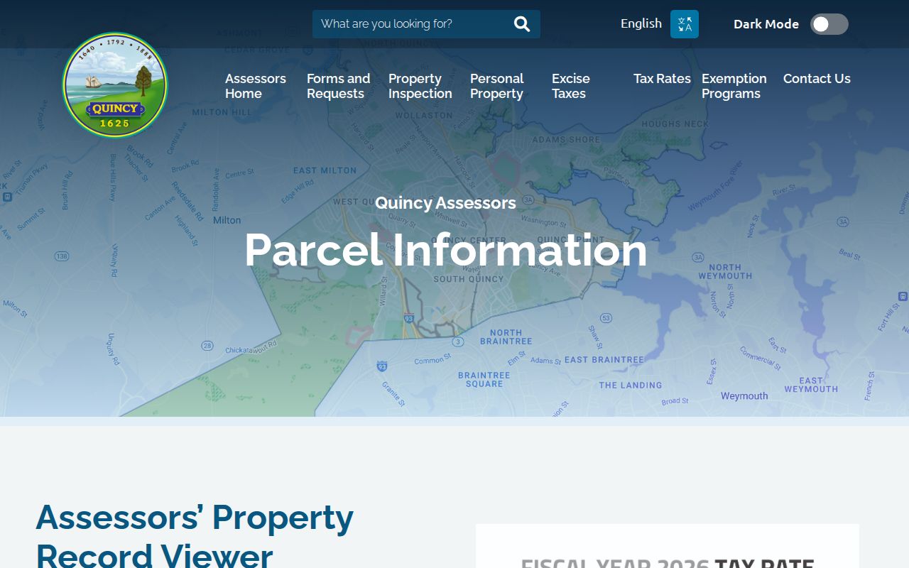
The screen establishes the official route to an address card, but the card still represents assessment data rather than a full resident roster. The Assessors Office can also address older cards or a result that needs clarification.
Quincy Assessors
1305 Hancock Street, 1st Floor, Quincy, MA 02169
(617) 376-1170
Monday through Friday, 8:30 a.m. to 4:30 p.m.
Note: A card updated after an inspection appears in VGSI on January 1 following the visit, so an update is dating evidence, not a transfer record.
Quincy Street Map Parcel Context
MapGeo is the visual part of a Quincy address search. It searches by address, parcel number, or MBLU, and it also permits a street segment to be reviewed by zooming and selecting parcels. Parcel, street, zoning, flood or coastal, political district, and other available context layers can explain why two nearby locations look alike in a list but belong to different parcels. In coastal areas such as Hough's Neck, Germantown, Merrymount, Squantum, Marina Bay, Wollaston, and Quincy Point, map context can be especially useful for understanding a property's setting.
For an adjacent-parcel check, the Commonwealth's MassGIS instructions describe selecting a parcel, choosing Find Abutters, applying the result, expanding each popup, and using Measure when distance or area matters. The local viewer remains the preferred Quincy parcel layer. Map geometry is not a title survey, so compare the popup with the assessor key and the deed's legal description before reaching a conclusion.
The MassGIS property-map instructions document the adjacent-parcel and measuring tools used to make this review repeatable.
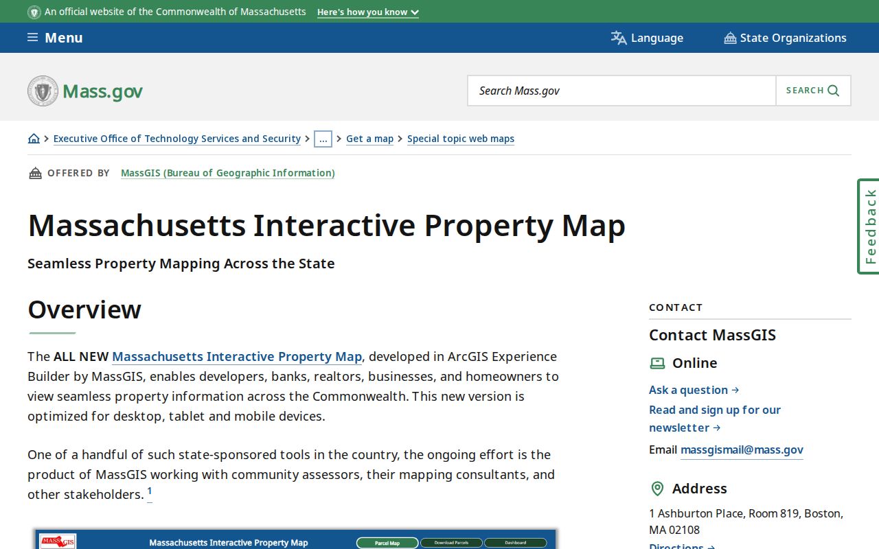
Adjacent parcels can reveal an abutter relationship, not the names of every neighbor or every household member. Record the map date because parcel layers and ownership cards can change.
Quincy Street Records by Address
Several records can be keyed to a Quincy address, but their meanings differ. The assessor card is the current tax-roll starting point. The Registry documents title instruments. Map layers show geography. Permit material may help date work at an address, yet the inspected city interface did not provide a public permit or code-case index. Historic directories and adult-resident lists are dated publications, not current rolls. Putting each result in the right column prevents an ownership lead from being treated as a statement of occupancy.
| Address record | Custodian | What it can establish | Access route |
|---|---|---|---|
| Assessor parcel card | Quincy Assessors | Assessed owner, situs, mailing address, MBLU/PID, property facts | VGSI, office, phone, or contact route |
| Parcel map | Quincy MapGeo / MassGIS | Parcel shape, abutters, layers, and measurement context | Public map viewer |
| Recorded deed | Norfolk Registry | Grantor, grantee, recording detail, legal description, and image | Online research, Dedham counter, or copy request |
| Land Court title | Norfolk Registry / Land Court | Certificate, registered owner, encumbrances, and title documents | Separate Land Court search; certificate controls |
| Permit or code material | Relevant city department | Address work or inspection evidence when held | Narrow written request or counter inquiry |
| Historic list or directory | Thomas Crane and partner collections | Dated adult inhabitant or householder evidence | Archives, library databases, or historical holdings |
A tax payment account or exemption is not a census of a building. Likewise, a single condo master parcel can hide several units. Retain the parcel identifier, map position, record date, and source type for each result on a street.
Norfolk Deeds Along Quincy Streets
The Norfolk Registry of Deeds is the ownership-history layer for a Quincy address search. Recorded land is online from 1793, with scanned grantor and grantee index pages from 1793 through 1955. Address searching has few entries before 2003, so a street-only search is often weak. Start with the assessed owner and deed reference. Locate the purchase deed, read its grantor, legal description, plan or lot references, and book or instrument number, then search that grantor as the next historical grantee.
A grantor is the person or entity conveying an interest, while a grantee receives it. A plat or plan is a filed drawing that helps locate lots and boundaries. The legal description is the deed language defining the property. These details matter when an old deed lacks a modern street address or a condominium unit is involved.
The Norfolk deeds-only search is one entry point for a surname and town search.
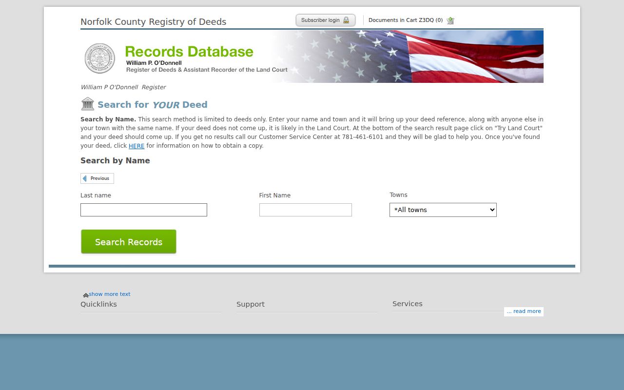
Free Access permits viewing and printing images marked Not An Official Copy. The Registry states that clean image printing requires a subscription, while a counter certified copy costs $1 per page. A research image and a certified copy serve different purposes.
Note: The Registry reported more than 13.1 million land documents and online land records back to 1793, making the deed index a deep but name-driven Quincy address resource.
Quincy Streets and Land Court
Norfolk separates Recorded land from Registered Land Court land. The Land Court system begins in 1900. Its online owner index is complete but unverified, and its grantor and grantee index is generally described as September 3, 1985 to the present. A name that is absent from the Recorded-land search may appear in the Land Court owner or certificate path instead. The web listing is useful for locating a record, but the physical certificate controls when title status needs verification.
This split is a practical Quincy address-search tip, not a minor search preference. When a deed chain seems to stop, switch systems, search the owner or certificate number, inspect encumbrances, and compare the legal description or plan. That check can resolve a dead end caused by the registry system rather than by a change in the parcel's history.
For help with research, account questions, or technical access, use the Registry's documented channels or visit its customer-service center at 649 High Street in Dedham. The office distinguishes building, customer-service, and recording hours, so confirm the appropriate service before travel.
Quincy Street Address Past Blocks
Modern address records do not replace the older printed trail. Quincy directories, adult-inhabitant lists, voting lists, newspapers, yearbooks, and Sanborn maps can place a name or building on a street during a specific era. Thomas Crane Archives holds local-history and genealogy material in the Richardson Building at 40 Washington Street. Special collections are closed stacks and appointment-only, with research assistance available by email or phone. The library also links newspaper, microfilm, and database sources with different access conditions.
A criss-cross directory, also called a reverse or house-guide section, is arranged by address rather than by personal name. It can connect a street and number to a dated householder, but it does not prove present occupancy. The Boston South Suburban 1976 Blue Book cross-reference directory is one documented tool for this kind of bridge. For the full printed-collection trail, consult the Quincy city directory collection rather than expecting a current parcel portal to supply historical households.
Sanborn holdings for Quincy include 1885, 1891, 1896, 1901, 1906, 1930, 1930 to 1950, and 1971. A map may show a building footprint, use, material, or nearby structure. It is valuable context, not a resident list.
Quincy Street Address Requests
Quincy did not have a verified public permit or code-case search with documented filters in the reviewed materials. For a permit card, inspection report, historical export, or other non-indexed address record, send the responsible city department a narrow request that identifies the address, parcel key when available, record type, and date range. The Cityworks link inspected required login, so it should not be represented as a public street-search system.
The Massachusetts Public Records Law, M.G.L. c. 66, § 10, generally calls for a reasonably described request and a response within 10 business days. Electronic delivery is used when available, and copying or labor fees are limited by law and regulation. If an office says records are held elsewhere, ask for the Records Access Officer or the custodian that maintains that address series. The answer may be a counter, email, mail request, or a public-records process rather than an online result.
Quincy Street Voter Limits
Massachusetts does not offer a public Quincy street-by-street voter browse. The Secretary of the Commonwealth's voter-status form requires a first name, last name, date of birth, five-digit residential ZIP code, and an agreement that the search is for the individual voter. A no-match does not prove that someone never lived at an address. A ZIP mismatch, spelling difference, recent move, inactive status, or protected registration can produce that result.
M.G.L. c. 51, § 47C restricts the central voter names-and-addresses file from ordinary public access. Historic adult-inhabitant and voting lists held through Thomas Crane, the State Library, and digitized volumes can be useful for a publication year, but they are not current block lists. Voter material is best treated as limited confirmation or dated historical evidence, never as a street roster.
Quincy Street Address Privacy
An address search cannot show every renter, household member, utility customer, delivery customer, protected voter, Address Confidentiality Program participant, RMV address, sealed matter, or informal occupant. A mailing address on the tax roll can belong to an owner, trust, representative, or another property. A parcel is not a household census. The Massachusetts program supplies a substitute-address and mail-forwarding option for eligible survivors and certain protected health-care professionals, so protected addresses should never be pursued or republished.
Lawful use. Quincy address records support personal, lawful research, family history, estate work, and civic curiosity. Do not use a record trail to stalk, harass, intimidate, or harm anyone.
When a record is incomplete, record the gap instead of filling it with an inference. The official route may be a custodian request, a restricted record, or no public access at all.